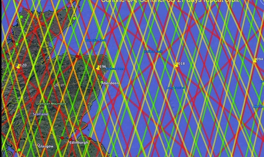
North Sea Altimetry & Offshore Context
Repeat-track satellite coverage and offshore geodetic applications around Scotland and the North Sea.
Applications & experience
Geodion is built on experience in scientific research, offshore GNSS and surveying, coastal altimetry, vertical datums, reference-frame transformations and professional technical training.
Repeat-track satellite coverage and offshore geodetic applications around Scotland and the North Sea.
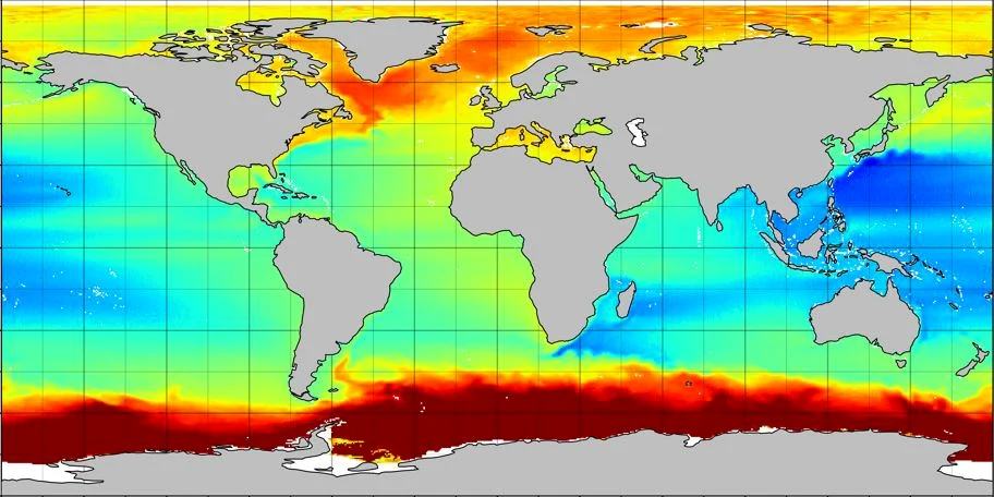
The mean sea surface and the geoid, expressed in the same tide system, provide a global estimate of mean dynamic topography.
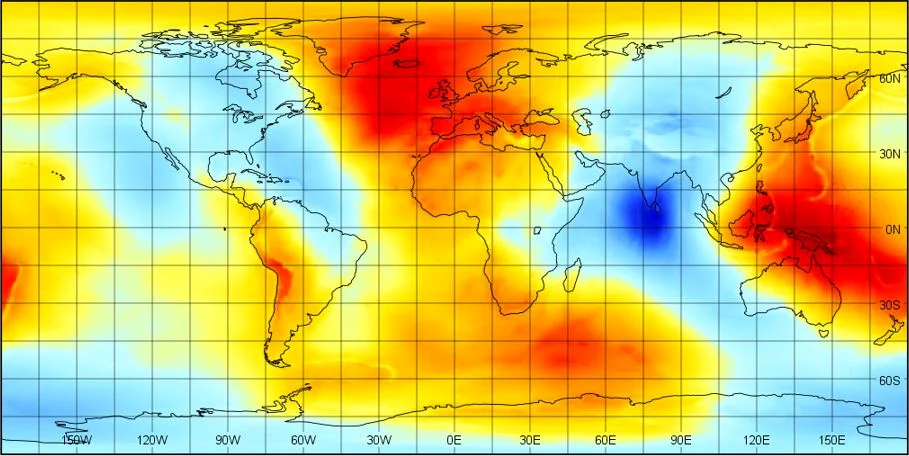
Global and regional gravity-field interpretation, geopotential reference values and geoid computation.
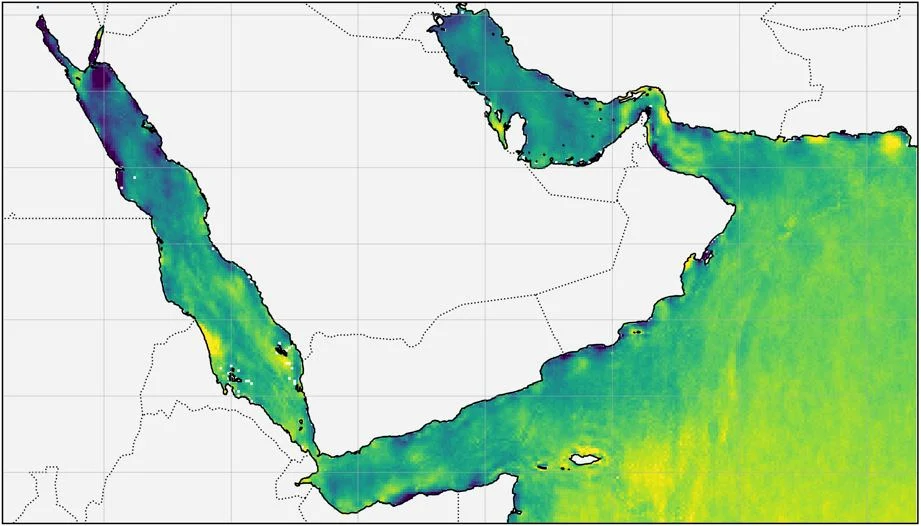
Regional sea-surface products and marine datasets for coastal, environmental and engineering applications.
Selected technical contributions
Examples drawn from research, engineering, national-reference-system and offshore experience.
Contributed to determination of the global geoid reference potential W₀ for international height-reference work.
Contributed to development and improvement of the ALES coastal-altimetry retracker.
Designed and validated transformations connecting national and global reference frames.
Developed Python software for geoid heights from spherical-harmonic geopotential models.
Delivered Tier-3 offshore GNSS technical support, product testing, QC and client training.