Validate positioning
Check GNSS observations, processing choices, coordinate quality and operational performance.
GNSS processing & QC →
Independent specialist geodetic consultancy & training
Geodion helps organisations obtain reliable coordinates, defensible datum transformations, trusted height solutions and quality-controlled GNSS, altimetry and sea-level results.
Support ranges from focused technical advice and independent review to data processing, method development, reporting and professional training.
How Geodion helps
Specialist support ranging from focused technical advice to processing, validation, reporting and training.
Check GNSS observations, processing choices, coordinate quality and operational performance.
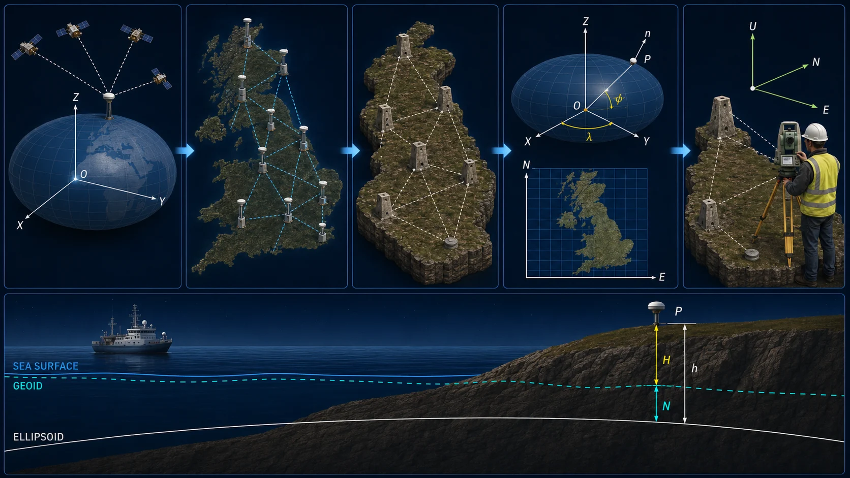
GNSS processing & QC →Transform coordinates and align local, national and global datums with documented assumptions.
Frames, datums & transformations →Assess geoid models, vertical datums and the relationship between ellipsoidal and physical heights.
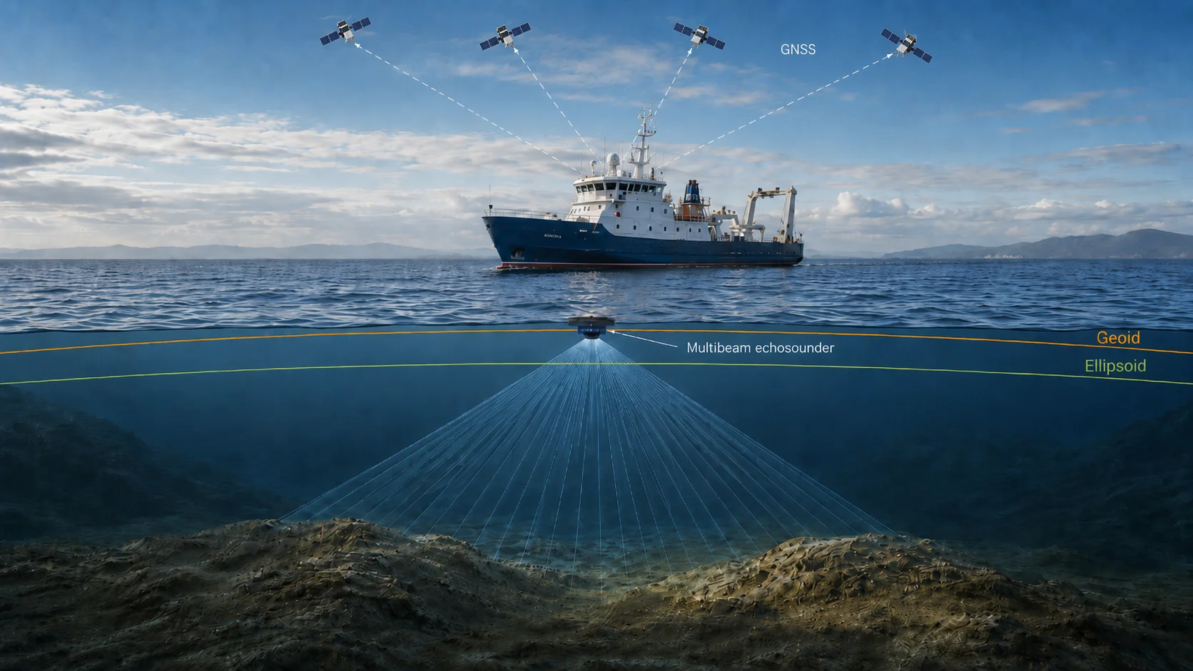
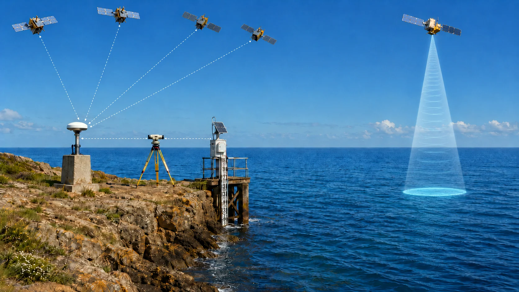
Geoid & height systems →Use altimetry, tide gauges, tidal analysis and marine observations within a coherent geodetic framework.
Altimetry, tides & marine geodesy →Selected applications
A concise selection of areas where Geodion’s research and industry experience can support project decisions.
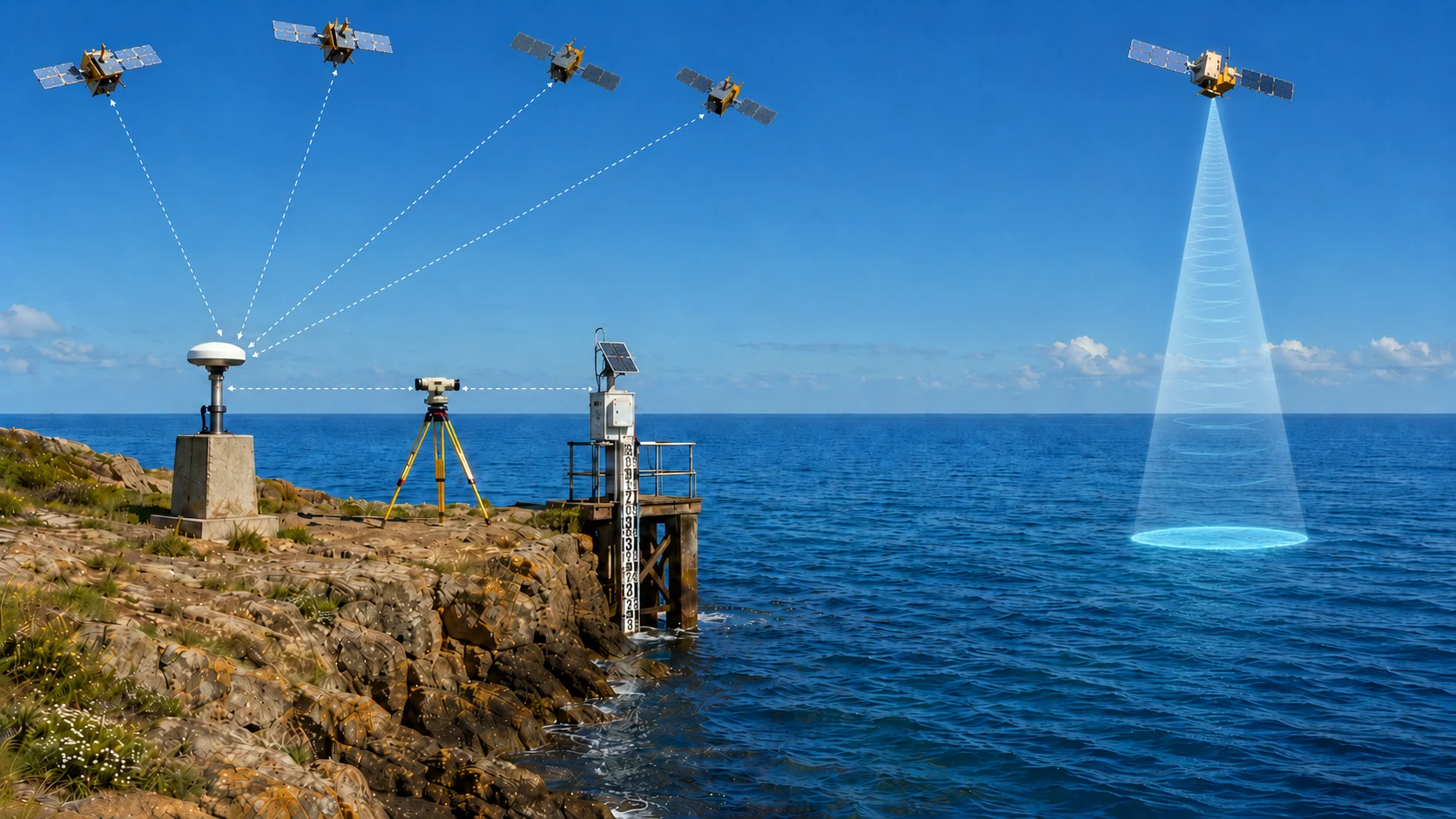
Connecting GNSS, levelling, tide gauges and altimetry within a traceable height framework.
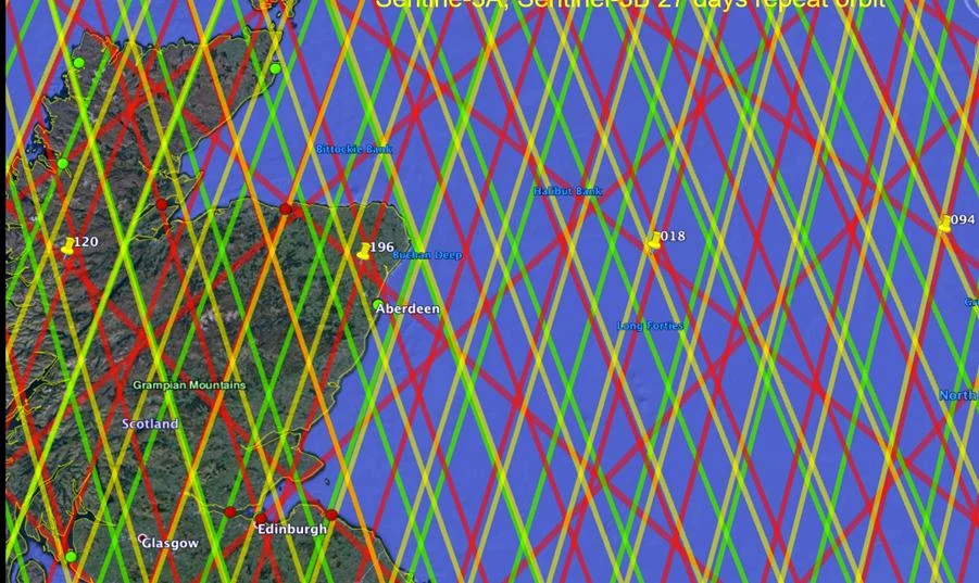
Data interpretation, calibration and validation for coastal and open-ocean applications.
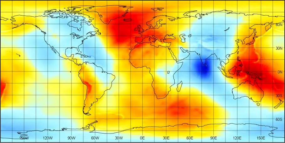
Geopotential models, geoid computation and the physical foundations of reliable heights.
Professional training
Bespoke online or on-site training in GNSS, datums, geoid models, height systems, satellite altimetry, surveying and sea-level applications.
About Geodion
Geodion is led by Dr Nadim Dayoub, whose background spans physical geodesy, GNSS, offshore surveying, satellite altimetry, national reference systems, scientific software and professional training.
Clients receive direct access to specialist judgement, clear communication and support proportionate to the technical problem.
Read about experience and technical contributions →Start with the technical question